Visto n' Visa
Blog
Notícias e artigos
Destinations
Careers
Immigrants

Want to live and work in Suffolk?

Personalized immigration plan with eligible visas, costs, and next steps for your goal!

If you are not eligible, you will know exactly why and what to do to improve your approval chances.

Save up to 12 hours in meetings

No pointless assessments.

Save up to 90%

Save money on vague or unfocused consultations

Avoid Fraud and Mistakes

One mistake can cost you your visa

Total Impartiality

Zero commercial bias

Decide with peace of mind

No toxic urgency

Fast and Accurate

Answers in minutes, no guesswork

Suffolk Demographics: An Urban-Rural Mix

Approximately 96,000 residents, with a strong African American presence, a historically white rural community, and a growing Hispanic share. Religious diversity follows the Protestant pattern of the South.

Suffolk has around 96,000 residents and has historically been a majority African American city, with a strong rural heritage tied to peanut farming (Planters Peanuts was founded here).

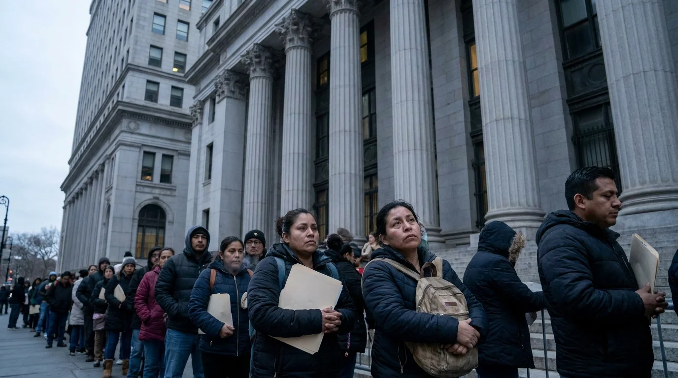
Today the composition is more balanced between white and Black residents, with growth among Hispanic and Asian newcomers driven by suburban expansion toward Chesapeake. Filipinos connected to the Navy appear in pockets near the bases.

English is the everyday language. Spanish is present in retail and evangelical churches. The dominant religion is Protestant Christianity, with Baptist and Methodist congregations found in nearly every neighborhood.

Languages spoken
  • English
  • Spanish
  • Tagalog
Main religions
  • Protestant Christianity (Baptist, Methodist)
  • Catholicism
  • African American evangelical churches
  • No religion

Cost of Living in Suffolk: More Affordable Than Norfolk

Living in Suffolk tends to be less expensive than in neighboring Hampton Roads cities, particularly for housing. Food and services are close to the state average.

Suffolk's main advantage is housing costs. Homes in neighborhoods like Driver, Holland, or the newer Harbour View developments cost less than comparable properties in Virginia Beach or Chesapeake.

Food costs align with the regional average: grocery chains such as Walmart, Food Lion, Kroger, and Harris Teeter dominate. Fast food and Southern-style steakhouses are affordable. Gas prices are below the national average.

Electricity (Dominion Energy) and water (Suffolk Public Utilities) bills fall within the expected range for southern Virginia. The biggest added expense for Suffolk residents is typically gasoline and vehicle maintenance, as nearly everything requires driving.

99Cost index (US = 100)1% below US average
CategorySingleCoupleFamily (2 + 2)
iHousing$1,283$1,480$1,875
iFood$375$750$1,362
iTransport$493$839$1,086
iHealthcare$276$553$1,036
iChildcare$1,796
iOther$839$1,510$2,122
Monthly total$3,266$5,132$9,277

Source: U.S. BLS Consumer Expenditure Survey 2023 + BEA Regional Price Parities 2023 · Estimates in USD, monthly.

Housing in Suffolk: Yards, Garages, and New Developments

Single-family homes with garages and yards are the norm. The largest recent expansion is in the northeast, in Harbour View, near the Chesapeake border and the tunnel to Newport News.

Suffolk offers far more houses than apartments. Neighborhoods like Harbour View, Bennett's Creek, and Burbage Grant attract military families and professionals who work in Norfolk or Newport News.

In the historic Downtown Suffolk area, there are restored older homes and some rental options in low-rise buildings. The western side, toward Holland and Whaleyville, is rural, with large lots, farms, and ranches.

Buying tends to make more financial sense than renting over the medium term. The market is less competitive than Virginia Beach, and new construction appears frequently in planned subdivisions.

Recommended neighborhoods
  • Harbour View
  • Bennett's Creek
  • Burbage Grant
  • Driver
  • Downtown Suffolk
  • +1 more

Job Market in Suffolk: Logistics, Defense, and Government

Jobs are concentrated in port logistics, defense, federal government, and retail. Many residents commute to Norfolk, Portsmouth, and Newport News.

The local economic engine is a combination of logistics (proximity to the Hampton Roads port), defense, and the federal government. The Hampton Roads joint military base and the Joint Forces Staff College generate demand for civilian contractors and technicians.

Massimo Zanetti Beverage USA (owner of the Hills Bros brand) has its headquarters and roasting facility here. Sentara Healthcare operates Sentara Obici Hospital, a major local employer. Logistics companies such as UPS and warehouse operators along US-58 also hire extensively.

It is common to live in Suffolk and work at Navy headquarters in Norfolk, the Portsmouth shipyard, or in Newport News. Car commute times range from 25 to 60 minutes depending on tunnel traffic.

Dominant sectors
  • Logistics and ports
  • Defense and federal contracting
  • Healthcare
  • Food industry
  • Municipal government
  • +1 more
Major employers
  • Sentara Obici Hospital
  • Suffolk Public Schools
  • Massimo Zanetti Beverage USA
  • Joint Forces Staff College
  • City of Suffolk
  • +2 more

Education in Suffolk: A Large Public School System and Nearby Colleges

The Suffolk Public Schools system serves the entire city. For higher education, most students attend colleges in Norfolk and Hampton or the Paul D. Camp Community College campus.

The Suffolk Public Schools system has schools spread throughout the city, including magnet schools such as King's Fork High School. Nansemond River High School is another local landmark.

For higher education, Paul D. Camp Community College maintains a campus in Suffolk and offers technical courses and transfer programs to four-year universities. Most college-bound students ultimately attend Old Dominion University (Norfolk), Norfolk State University, or Hampton University.

There are also private Christian schools and Nansemond-Suffolk Academy, a traditional K-12 private option in the eastern part of the city.

Notable universities
  • Paul D. Camp Community College (Suffolk campus)
  • Old Dominion University (Norfolk, nearby)
  • Tidewater Community College
  • Norfolk State University (nearby)

Healthcare in Suffolk: Sentara Obici and Referrals to Norfolk

Sentara Obici Hospital is the city's main hospital. More complex cases are referred to medical centers in Norfolk and Newport News.

Sentara Obici Hospital, in Harbour View, is the community hospital, with an emergency department, maternity ward, and general surgery. The Sentara network also operates several Sentara Medical Group clinics throughout Suffolk.

For specialized treatments (complex oncology, transplants, trauma), patients are referred to Sentara Norfolk General or Children's Hospital of The King's Daughters (CHKD), both in Norfolk.

Bon Secours medical offices and the Bon Secours Health Center at Harbour View are also present. Private insurance plans (Anthem, Optima, Tricare) cover most of the network; Tricare is especially common due to the large military population.

Healthcare index60.0 / 100
  • Life expectancyyears at birth
    78.4yrs
  • Doctors per 1kpracticing physicians
    3.7
  • Health spendper capita, per year
    $13,473
  • Public systemoverall quality rating
    Fair

Safety in Suffolk: Wide Variation Between the New North and Older Pockets

Newer neighborhoods in the north are quiet. Some areas in the old downtown and the rural far west have higher crime rates. Policing is handled by the Suffolk Police Department.

Suffolk tends to have a crime rate slightly above the Hampton Roads average in some categories, but conditions vary greatly by neighborhood. Harbour View, Bennett's Creek, and Burbage Grant are considered very safe.

Downtown Suffolk and some pockets east of the center have a history of thefts and drug-related incidents, particularly at night. The city has invested in revitalizing the old downtown in recent years.

The rural zone, despite being quiet, experiences occasional property crimes in isolated areas. Overall, it is a safe city for families who pay attention to neighborhood selection.

Safer neighborhoods
  • Harbour View
  • Bennett's Creek
  • Burbage Grant
  • Driver
  • North Suffolk
  • Hillpoint
Areas to avoid
  • Parts of Downtown Suffolk at night
  • Saratoga (older area)
  • Some stretches of US-58 in the industrial zone

Transportation in Suffolk: A Car Is Practically Essential

There is no structured public transit within the city. Getting around depends almost entirely on a personal vehicle. The most-used airport is Norfolk International.

Suffolk is crossed by US-58, US-460, and US-17, which connect the city to the rest of Hampton Roads and to North Carolina. I-664 touches the northeastern part of the city via Harbour View.

The HRT (Hampton Roads Transit) bus service covers only small portions near the Portsmouth border. A personal vehicle is necessary for everything else.

For commercial flights, most residents use Norfolk International Airport (ORF), about 40 minutes away by car. Newport News/Williamsburg International (PHF) is an alternative for some regional routes.

Airports
  • ORF — Norfolk International (approximately 40 min away)
  • PHF — Newport News/Williamsburg International (regional alternative)

What the Climate Is Like Living in Suffolk

Humid subtropical climate with hot summers near 31°C, mild winters close to 1°C, and residual hurricane risk in late summer.

Summers in Suffolk are long and humid, with highs between 29°C and 32°C from June through September. The area's abundance of wetlands and rivers keeps the air heavy. Afternoon thunderstorms occur several times a week in July, and air conditioning runs for most of the period between May and October.

Winters are mild. Lows range between 0°C and 4°C, and snow is rare and typically light. A medium coat, a waterproof jacket, and light boots are sufficient. Winds coming off the nearby coast make the wind chill feel colder in January and February.

The city sits in the Atlantic hurricane corridor, with the main risk period running from August through October. Spring and fall are pleasant, with temperatures between 13°C and 24°C and mostly clear skies. The area averages around 210 sunny days per year.

Sunny days / year210 days
Avg high (°F)
  • 69°J
  • 73°F
  • 79°M
  • 83°A
  • 91°M
  • 94°J
  • 98°J
  • 96°A
  • 94°S
  • 86°O
  • 77°N
  • 71°D
Avg low (°F)
  • 21°J
  • 22°F
  • 25°M
  • 32°A
  • 42°M
  • 55°J
  • 66°J
  • 63°A
  • 52°S
  • 41°O
  • 25°N
  • 22°D
Rainfall (")
  • 4"J
  • 4"F
  • 3"M
  • 4"A
  • 3"M
  • 5"J
  • 5"J
  • 6"A
  • 5"S
  • 2"O
  • 3"N
  • 4"D

Culture in Suffolk: Peanuts, Festivals, and Rural Heritage

The city celebrates its history as the American peanut capital and blends Southern rural traditions with the military influence of Hampton Roads.

Local identity is strongly tied to peanuts. Planters was founded here and operated a factory in the city for decades; Suffolk still holds the annual Suffolk Peanut Festival, featuring a parade, country music, and traditional food.

The dining scene is understated: Carolina-style barbecue, Chesapeake seafood, fried fish, and the classic Brunswick stew appear at spots like Riverstone Chophouse and local diners.

The Suffolk Center for Cultural Arts, in the old downtown, hosts concerts, plays, and exhibitions throughout the year. Events at Constant's Wharf Park, along the Nansemond River, mark the summer season.

Notable dishes
  • Boiled peanuts
  • Brunswick stew
  • Carolina-style pulled pork barbecue
  • Chesapeake blue crab
  • Hush puppies
  • +1 more
Annual events
  • Suffolk Peanut Festival
  • TGIF Concert Series at Constant's Wharf
  • Driver Days
  • Downtown Suffolk Christmas Parade

Attractions in Suffolk: Swamps, Museums, and the Great Dismal Swamp

The Great Dismal Swamp National Wildlife Refuge and Lake Drummond are the city's main natural landmarks, alongside peanut museums, parks, and the historic downtown.

The Great Dismal Swamp National Wildlife Refuge is the top natural attraction: roughly 110,000 acres of swampland with trails, birdwatching, and the mysterious Lake Drummond at its center. It easily fills a full day by bike or on foot.

In the old downtown, the Suffolk Seaboard Station Railroad Museum and Riddick's Folly House Museum document the region's railroad history and the Civil War era. The Planters Peanut Center, on Main Street, is a must-stop for understanding the history of Mr. Peanut.

Constant's Wharf Park, along the Nansemond River, hosts concerts and has a deck for waterfront strolls. Lone Star Lakes is a cluster of public lakes with trails, fishing, and primitive camping.

  1. 1Great Dismal Swamp National Wildlife Refuge
  2. 2Lake Drummond
  3. 3Suffolk Seaboard Station Railroad Museum
  4. 4Riddick's Folly House Museum
  5. 5Planters Peanut Center
  6. 6Constant's Wharf Park
Parks & green spaces
  • Lone Star Lakes Park
  • Bennett's Creek Park
  • Sleepy Hole Park
  • Constant's Wharf Park
  • Lake Meade Park
  • +1 more

Latest posts

Posts about Virginia

Coverage and updates related to this destination.

Showing content from Virginia, as there is no specific data for Suffolk yet.